Your voice for a cycling borough
RIDES
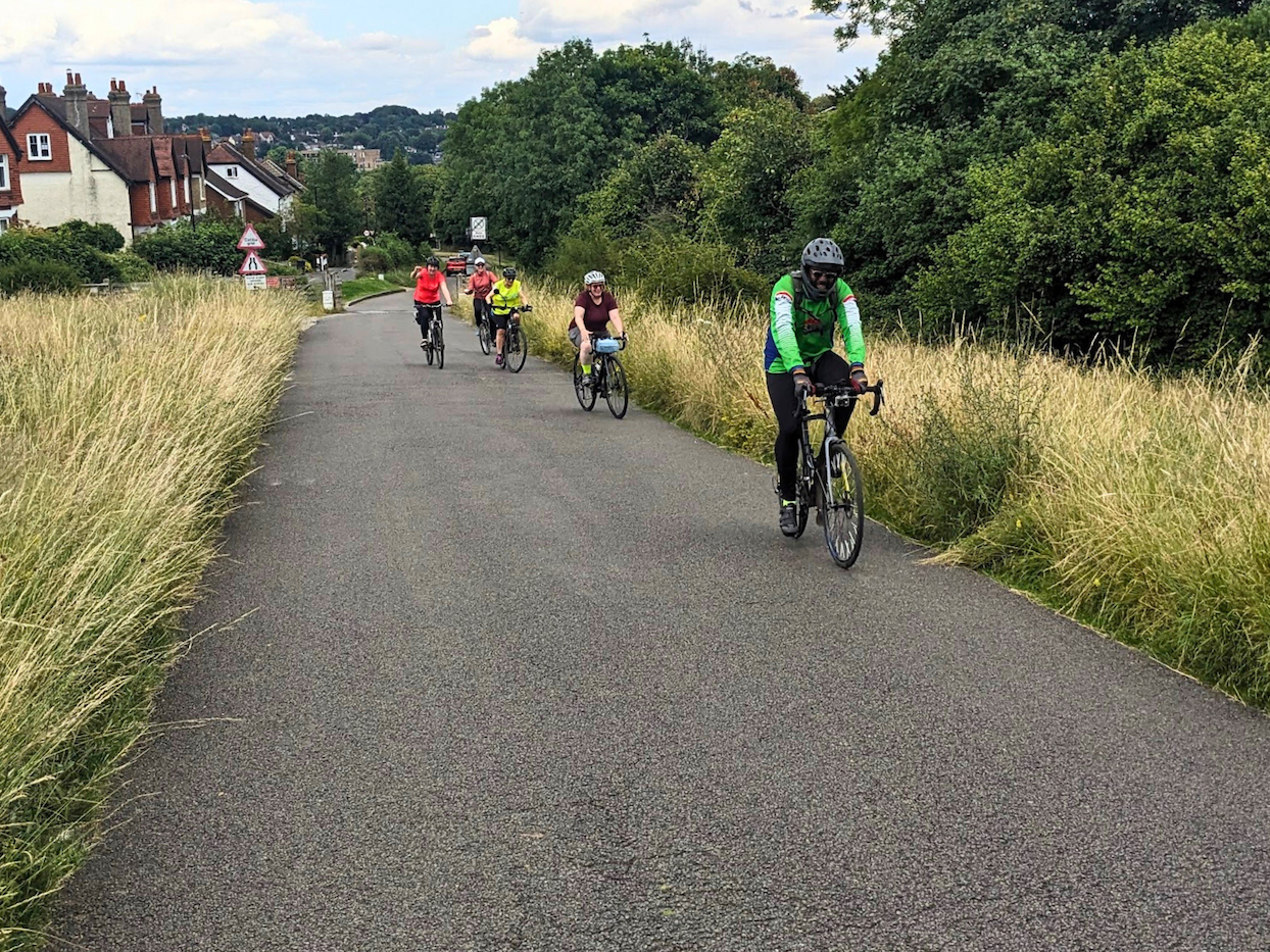
Get outside and explore your local area with our easy-paced, all-abilities Social Rides.
ROUTES
Find the quickest or safest route for your next trip or adventure with our collection of cycle route maps.
WHY CYCLE?
Why cycling could save you time and money, and help contribute to a fitter, healthier and more sustainable lifestyle.
CAMPAIGNS
There’s lots to be done to make Croydon a safer, better connected and more attractive place to walk and cycle. These are our active campaigns.
GREEN NETWORK
We’re part of the Croydon Green Network – find out about the other groups you can get involved with or join us at a meet-up.
CYCLE BUDDIES
Looking for a helping hand, or happy to offer one? LCC’s Cycle Buddies scheme is here to help.
GET INVOLVED
We’re 100% run by volunteers. Join our efforts to make Croydon better for cycling: together we’re stronger.
SHOPS & SERVICING
Need a new bike for yourself or a family member? Got a bike and need it serviced or repaired? Here’s our directory of bike shops in & around Croydon.
MEMBERSHIP BENEFITS
Join London Cycling Campaign to support our work, get discounts on bikes and accessories, and protect yourself with legal support and liability insurance.
A London Cycling Campaign group for the London Borough of Croydon.
London Cycling Campaign is a membership charity working across London. We campaign to make cycling safer and more enjoyable for everyone.
Registered Charity No: 1115789
Twitter: @croydoncyclists
Email: croydon@lcc.org.uk
BlueSky